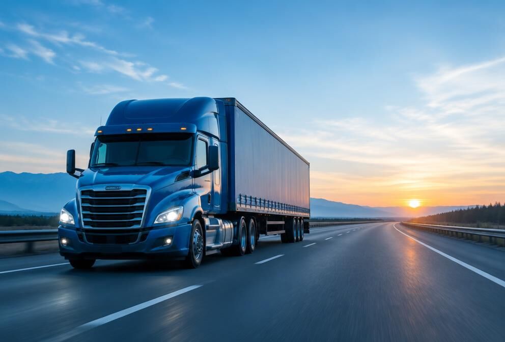
GPS for cargo transport
Follow the location of your units and gain greater visibility of their routes. Makes transport coordination easier and reduces the time spent confirming where a unit is.
Know where your vehicles are, stay connected with your loved ones on the move and make it easier to locate your pets with GeoDisIA.

Illustrative images.
Follow the location of your units and gain greater visibility of their routes. Makes transport coordination easier and reduces the time spent confirming where a unit is.

Check your car's location and keep a reference of its trips. A practical way to have more control and peace of mind every day.

Know where your motorcycle is and follow its routes, for both personal mobility and work activities.

Makes it easier to locate and accompany people through location information shared by agreement. Supports coordination with family members and caregivers.

Get a location reference for your pet to accompany its walks and make it easier to find if it wanders off. Extra help for its care.
Manage and supervise your units from any browser or download our native mobile app for Android and iOS smartphones and tablets. Everything synchronized in real time.
View precise unit location on high-resolution maps with live updates, speed, heading, and live traffic status.
Organize vehicles by plate and model. Monitor ignition state (engine on/off), odometer, and service logs.
Supervise technical status of each GPS tracker: backup battery level, cellular/satellite signal quality, connection, and sensors.
Instant notifications for critical triggers: speeding, panic SOS button, battery disconnect, unauthorized ignition, or towing.
Draw polygonal, circular geofences, and authorized route corridors. Receive automated triggers upon zone entry and exit.
Replay historical routes step-by-step with visual playback, review stop durations, recorded speeds, and export data for audits.
Execute secure remote actions: preventive engine cutoff / fuel shutoff, engine restart, locate ping, and hardware reboot.
Generate comprehensive reports on mileage, engine hours, driving behavior, idling periods, and diagnostic telemetry.
Manage multiple user accounts with tiered access levels (administrator, supervisor, operator) and vehicle group assignment.
GeoDisIA can integrate with the platform you already use. Regardless of the technology, your team can receive or query GPS positions directly from your own tools.
We configure automatic GPS coordinate delivery to your platform or server in real time. Compatible with webhooks, MQTT, sockets and custom protocols.
We expose REST or WebSocket endpoints so your application can query GPS positions whenever it needs to. Integrate tracking into your ERP, TMS or app without changing your infrastructure.
Our devices are equipped with smart multi-carrier SIMs that automatically connect to leading cellular networks in both countries. Keep complete visibility of your vehicles, cargo, and loved ones without dropouts or surprise costs at the border.
Reliable connectivity across all 32 federal states, major highways, maritime ports, and industrial corridors.
Seamless and immediate network handoff across international customs checkpoints without signal dropouts.
Active tracking along interstate highways, logistics hubs, and North American trade routes.
Check the location of what matters to you from one place.
Plan routes and activities with location information at hand.
Cut down on calls and messages to find out where a vehicle is.
Accompany the trips of people and pets with more confidence.
Your purchase protected
All our GPS devices come with a 1-year warranty against manufacturing defects. If the device fails, we take care of it.
Devices equipped with multi-carrier SIMs for continuous automatic roaming across both countries.
Our team is with you through setup and everyday use of the service, at no extra cost.
Access the tracking service without long-term contract commitments. You decide when and how to use it.
Tell us what you need to locate. Our team will guide you to the GeoDisIA service that best fits your case.